Top Sokajy
- Bootable USB Creators
- Database Management Software
- CAD Software
- Miscellaneous Software
- Remote Desktop Software
- IDE Software
- VPN Software
- GIS Software
- Messaging Software
- Download Managers
- PDF Readers
- PDF Editors
- Web Browsers
- 3D Modeling Software
- Video Playing Software
- Image Editing Software
- Browser Plug-ins
- Backup Software
- Disk Formatting Software
- File Managers
- 3D Model Viewing Software
- Programming Languages
- Live Stream Software
- 2D Animation Software
- Android Emulators
- Digital Art Software
- Mouse Cursor Software
- SSH Client Software
- File Compression Software
- Shooter Games
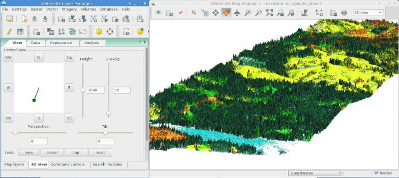
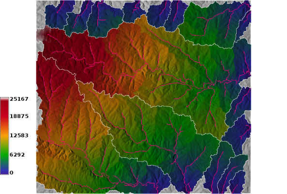
Grass Gis 8.3.2
Windows
WinGRASS-8.3.2-1-Setup.exe | 840.29 MB
Mac
| Vidiny | Maimaim-poana |
| Malagasy Bible | 8.3.2 |
| Daty namoahana | April 4, 2024 |
| Mpitory | GRASS Development Team - https://grass.osgeo.org |
| Famariparitana ny Mpanonta | |
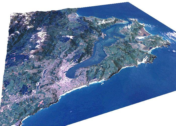
GRASS GIS, commonly referred to as GRASS (Geographic Resources Analysis Support System), is a Geographic Information System (GIS) used for geospatial data management and analysis, image processing, graphics/maps production, spatial modeling, and visualization. GRASS is currently used in academic and commercial settings around the world, as well as by many governmental agencies and environmental consulting companies.
Software mifandraika